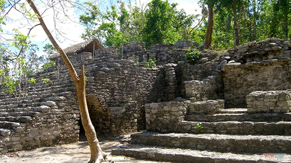
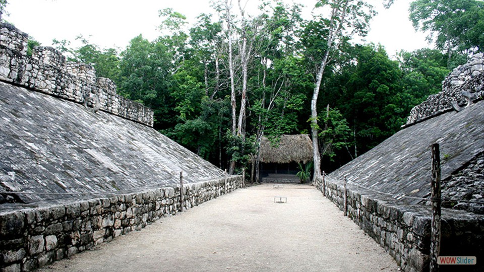
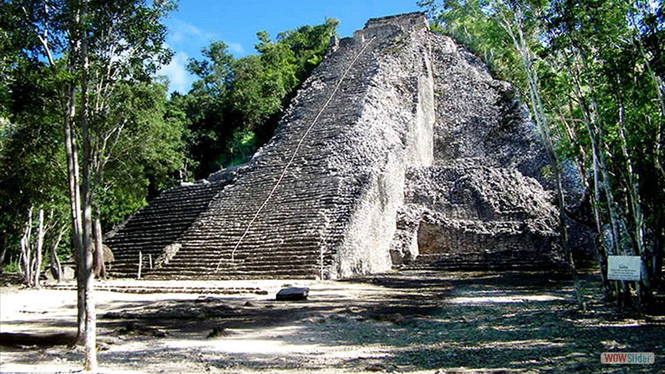
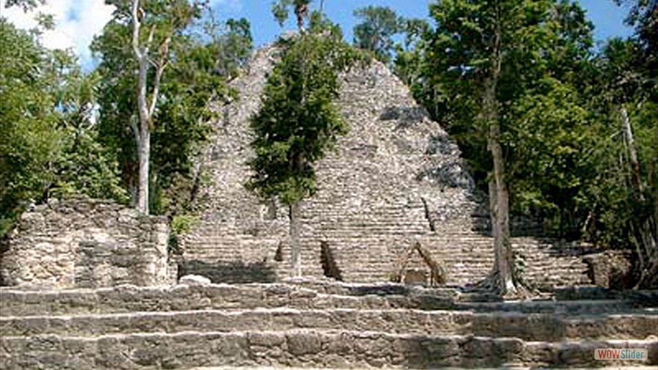
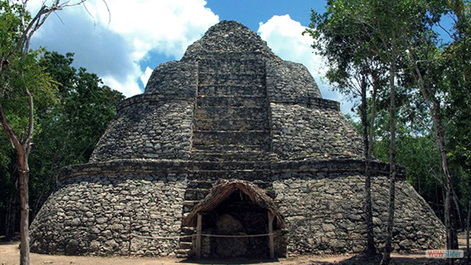
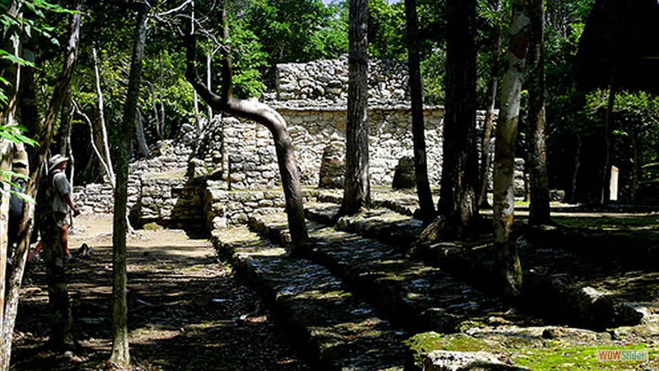
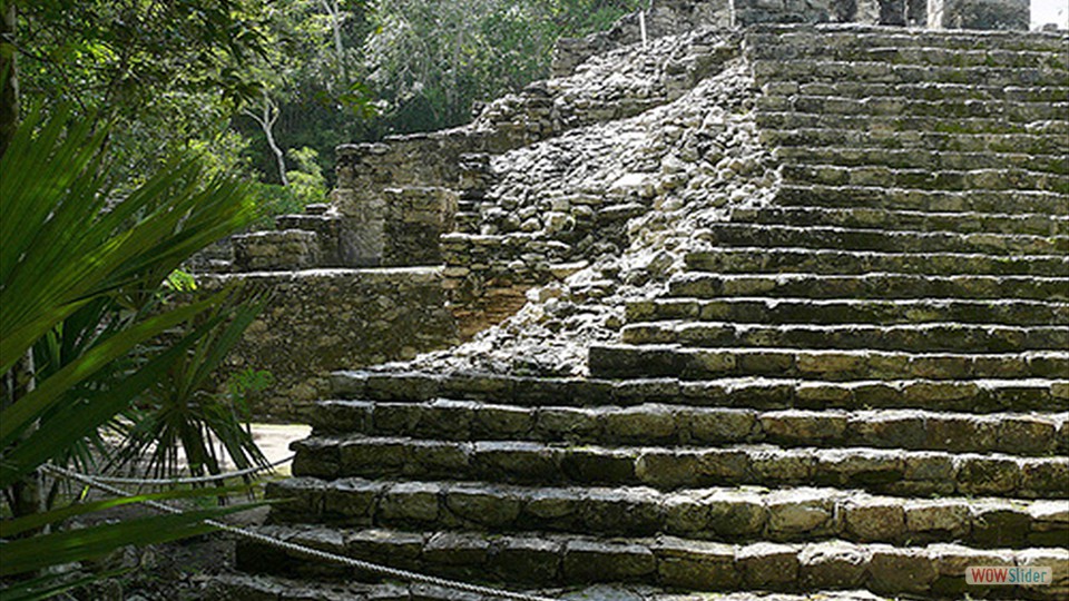
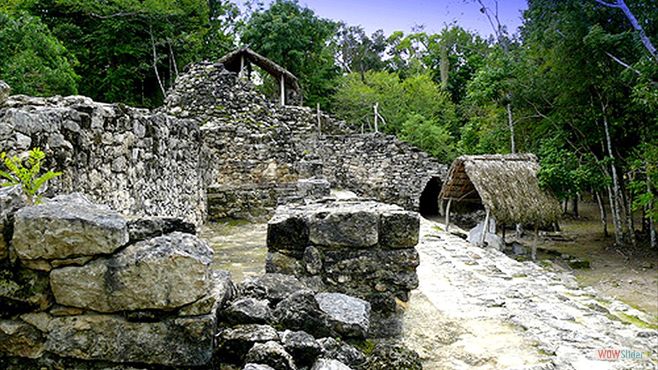
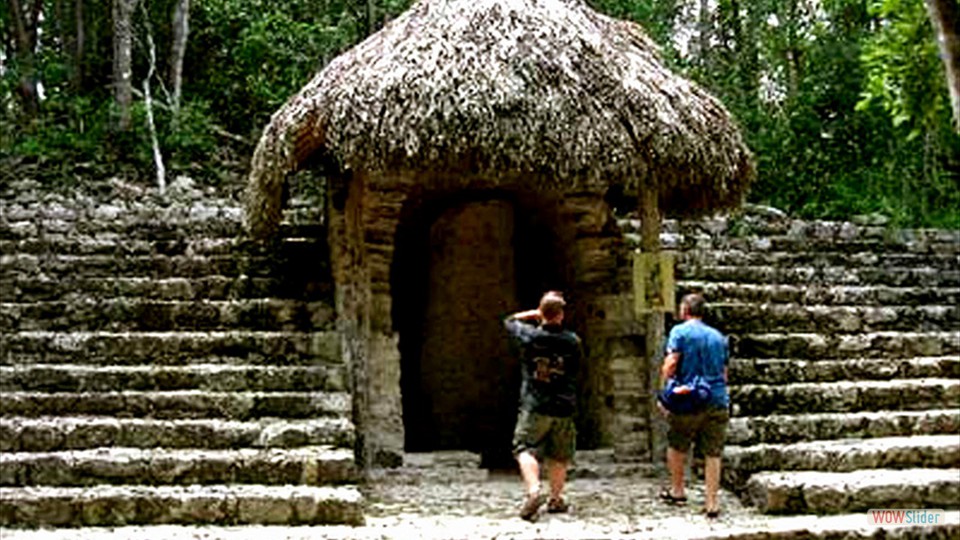
Coba is located around two lagoons. A series of elevated stone and plaster roads radiate from the central site to various smaller sites near and far. Some of these causeways go east to the Caribbean coast, and the longest runs over 100 kilometres (62 mi) westwards to the site of Yaxuna. The site contains several large temple pyramids, the tallest, in what is known as the Nohoch Mul group of structures, being some 42 meters (140 ft) in height. Coba is estimated to have had some 50,000 inhabitants at its peak of civilization, and the built up area extends over some 80 km.sq. The site was occupied by a sizable agricultural population by the 1st century. The bulk of Coba's major construction seems to have been made in the middle and late Classic period, about 500 to 900 C.E., with most of the dated hieroglypic inscriptions from the 7th century. However Coba remained an important site in the Post-Classic era and new temples were built and old ones kept in repair until at least the 14th century, possibly as late as the arrival of the Spanish. Knowledge of this expansive site was never completely lost, but it was not examined by scholars until the 1920s. John Lloyd Stephens mentioned hearing reports of the site in 1841, but it was so distant from any known modern road or village that he decided the difficulty in trying to get there was too daunting. For much of the rest of the 19th century the area could not be visited by outsiders due to the Caste War of Yucatan. Teoberto Maler paid Coba a short visit in 1893 and took at least one photograph, but unfortunately did not publish at the time and the site remained unknown to the archeological community. Amateur explorer Dr. Thomas Gann was brought to the site by some local Maya hunters in February of 1926. Gann published the first first-hand description of the ruins later the same year. Gann gave a short description to the archeologists of the Carnegie Institution project at Chichen Itza, which sent out an expedition under J. Eric S. Thompson. Thompson's initial report of a surprisingly large site with many inscriptions prompted Sylvanus Morley to mount a more thorough examination of the site. Eric Thompson made a number of return visits to the site through 1932, in which year he published a detailed description. The site remained little visited due to its remoteness until the first modern road was opened up to Coba in the early 1970s. As a major resort was planned for Cancún, it was realized that clearing and restoring some of the large site could make it an important tourist attraction. The Mexican National Institute of Anthropology & History began some archeological excavations in 1972 directed by Carlos Navarrete, and consolidated a couple buildings. At the start of the 1980s another road to Coba was opened up and paved, regular bus service begun, and a small Villas Archeologicas Hotel was opened up by the Club Med (with its own electric generator, since the village at Coba was otherwise without electricity). Today there is a resident population of 1,167 (2005 census). Coba became a tourist destination shortly thereafter, with many visitors visiting the site on day trips from Cancún and the Riviera Maya. Only a small portion of the site has been cleared from the jungle and restored by archaeologists. Local guides are available at the entrance to the site, as well as bicycle rentals to get to some of the farther ruins within the archaeological zone.

Copyright: © 1999 thru 2021. All the content; content being images, statements and writing of this website including E-Book are the copyright of Freedom8.net and Walter F. Petrucci, West Hurley, New York.
All rights expressly reserved and as such, protected by U.S. and International Copyright Laws. Design by freedom8 webmaster Version8.
 1
1 2
2 3
3 4
4 5
5 6
6 7
7 8
8 9
9 10
10