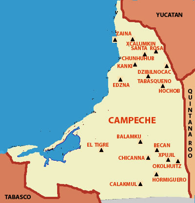
Campeche
Campeche is a state in the south-east region of the Mexican Republic. It is bordered by the states of Yucatan to the north east, Quintana Roo to the east, and Tabasco to the south west. To the south it is bordered by the Peten department of Guatemala and to the west by the Gulf of Mexico. Since 1996, Campeche also shares a short border with the nation of Belize to the east, although the anexation of this area by Campeche remains disputed by Quintana Roo.
The capital city of the state is the city of San Francisco de Campeche, which was declared a World Heritage Site by UNESCO.
In addition to the city of Campeche, the state of Campeche has many ruins of the Maya civilization such as Becan, Calakmul, Dzibilnocac, Edzna, Hochob, Rio Bec, Xicalango, Xpuhil, and Xtampak. Campeche derives from the name of the Mayan city of Kan pech, which became today's San Francisco de Campeche. Before the Spanish Conquest, the territory that now is the State of Campeche was occupied by the Maya. The most important sites of the Classic Mayan Period are Calakmul, Rio Bec, Edzna, Hormiguero and Becan. Another important site is the island of Jaina, (Zaina) just off the coast in the Gulf of Mexico.
Campeche was discovered by the Spaniards on March 22, 1517, during an exploratory expedition led by Francisco Fernandez de Cordoba. Among the crew were Bernal Diaz del Castillo and Anton de Alaminos.
The name of Campeche comes from the Mayan word "Ah Kim Pech", which means "The Place of Boa Serpent". The State of Campeche was long a part of Yucatan and shared its history through the mid 19th century. Campeche broke away from Yucatan and became a separate state of the United Mexican States (Estados Unidos Mexicanos) on August 7, 1857.


Xcalumkin The site was reported by Teoberto Maler during the late nineteenth century, and he called it Xcalumk?n because it was the name of the savanna were most of the constructions where raised,
Learn More
Santa Rosa XtampakIn Maya language Xtampak means "Old or ancient walls". The evidence of the first human occupation of the site dates from the Late Preclassic 300-250 B.C.E. During the 200-year period from 600 to 800 C.E., in the Late Classic period, Santa Rosa Xtampak
Learn More
Chunhuhub; in Mayan language means "Next to the Snail" (chun-next to, huhub-snail), although some investigators believe it means "the root of the pinus caribea tree"
Learn More

Kanki is the Mayan name of a wild bush that has many tiny yellow flowers. Pollok who found it during his expeditions in the Puuc region of Campeche State reported the site on May 1940.
Learn More
Dzibilnocac means "Painted Vault or House" or "Great Painted Turtle" in Mayan. The ruins are located near the town of Iturbide in northern Campeche.
Learn More

Edzna (also known as Etzná) Means "House of the Grimace" in Mayan. The southernmost of the Puuc sites it can be reached by car and is.
Learn More
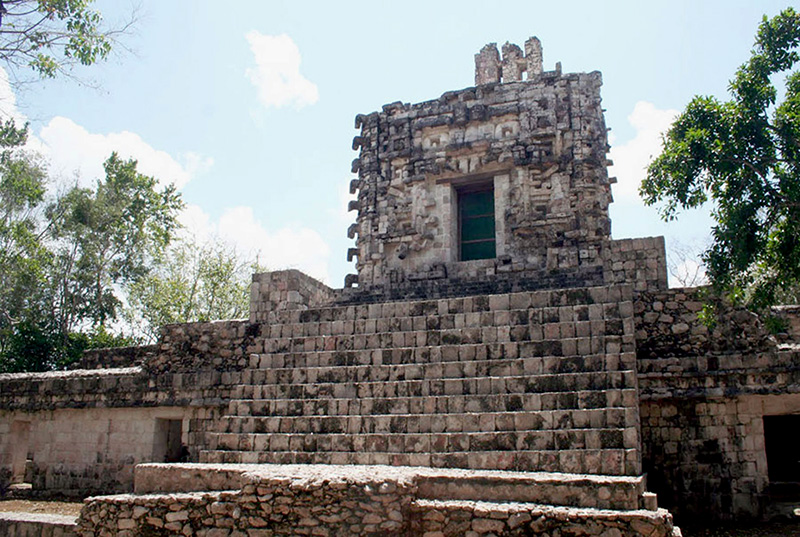
Hochob, is located in the Chenes Region in the central part of Campeche 3/4 of the way from the coast and 1/4 the way from the border of Quintana Roo.
Learn More

Balamku or Balam Ku means "House of the Jaguar" in Mayan. It is an early Maya city, was rediscovered in 1991 in the jungles northwest of Chicanna and Becan
Learn More
El TigreThe occupation in El Tigre dates from Middle Pre-Classic period (B.C.E. 600-300), to 1557 C.E.. The site of El Tigre (the tiger) has been known since the Spanish conquest as Itzamkanac.
Learn More
Becan means "The Road of the Serpent" in Mayan. Becan was an active city for a very long period of time. Dates as early as 600 B.C.E. and as late as 1450 C.E.
Learn More
Xpujil the archaeological zone was named after a close water deposit named Xpujil, which in Mayan is related to an abundant herb known as "cola de gato" cat's tail).
Learn More
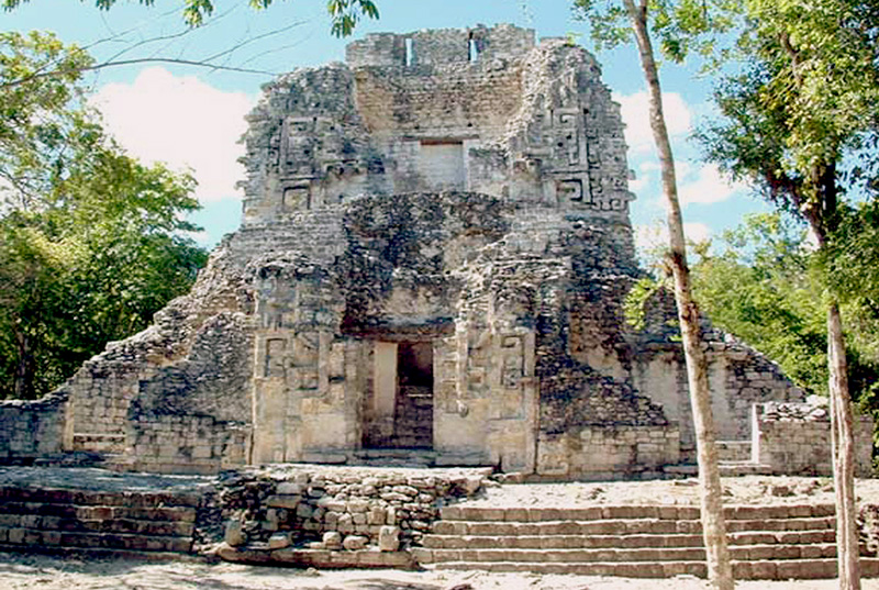
Chicanna means " House of the snake's jaws" in Mayan. Chicanna is located near the site of Becan and is reachable by car. While it is a close neighbor to Becan the architecture at the two sites is quite distinct. The site is a good example of a blend Chenes and Rio Bec River styles
Learn More
Oholhuitz Today, this site is not open to public.
Its name Okolhuitz (okol-to-wits) means, "get in to the high bluff" in Mayan language.
Learn More
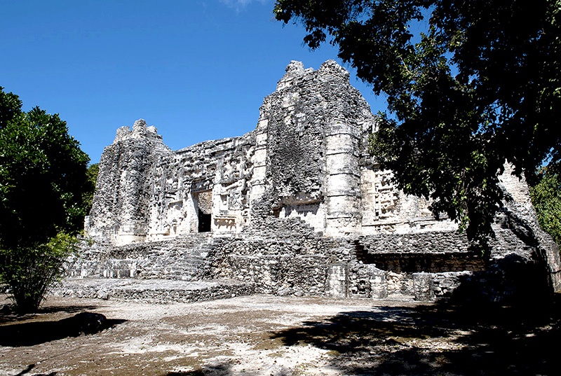
Karl Ruppert and John Dennison first reported Hormiguero during their second expedition to Campeche, they were sent by the Carnegie Washington Institution in April 1933.
Learn More
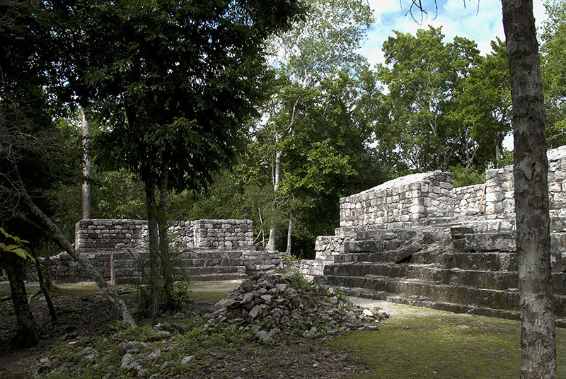
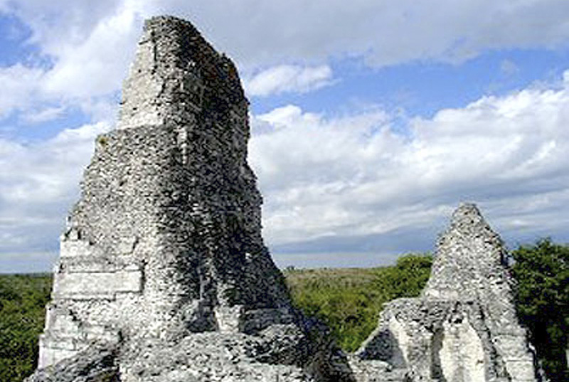
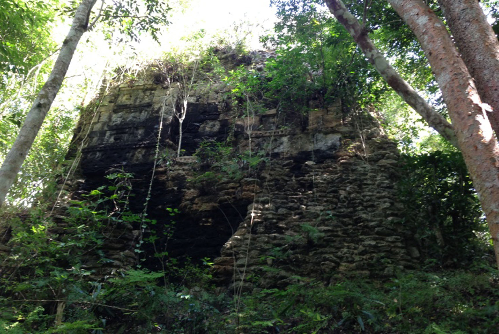
Calakmul is located in the state of Campeche, Mexico just north of the Peten region, and is somewhat difficult to reach. It is located north of El Mirador and south of Balamku.
Learn More
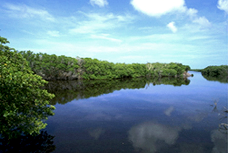
Jaina or Zaina means "The place of the house on the water" , a name which refers to its insular location. The first evidence of human occupation goes back to the Early Classic period
Learn More
Tabasqueno Teobert Maler was the first Austrian to report the existence of this archaeological site in 1895 during his expeditions around the Chenes region in Campeche State.
Learn More