

Quintana Roo
Is a state of Mexico, on the eastern part of the Yucatan Peninsula. It borders the States of Yucatan and Campeche to the north and west, the Caribbean Sea to the east, and the nation of Belize to the south. Quintana Roo also claims territory which gives it a small border with Guatemala in the south west of the state, although this disputed area is also claimed by Campeche.The capital of Quintana Roo is the city of Chetumal. Quintana Roo also contains the resort city of Cancun, the islands of Cozumel and Isla Mujeres.
The state covers an area of 50,351 square kilometers, 19,440.6 square miles. The 2005 census reported a population of 1,135,309. The statewide population is currently expanding at a rapid rate due to the construction of hotels and the demand for workers. Many immigrants to the state come from Yucatan, Campeche, Tabasco, and Veracruz. The state, known as a resort area, is frequently hit by severe hurricanes due to its exposed location.
The area that makes up modern Quintana Roo was long part of Yucatan, sharing its history. With the Caste War of Yucatan starting in the 1840s, all non-natives were driven from the region and the independent Mayan nation of Chan Santa Cruz was centered on what is now the town of Felipe Carrillo Puerto. The region was for a time dominated by the religion of the "Talking Cross" in a church was a cross guarded by Mayan priests that was said to speak and give them orders. The Mexican government continued to have very little control over this region until the early decades of the 20th century.
Mexico by decree of President Porfirio Diaz on November 24, 1902. It was named after an early patriot of the Mexican Republic, Andras Quintana Roo. The Mexican army succeeded in defeating most of the Maya population of the region during the 1910s, and in 1915 the area was again declared to legally be part of the state of Yucatan. In 1931 the territory of Quintana Roo was again separated from Yucatan. Quintana Roo was granted statehood within the United Mexican States on October 8, 1974. It is the Mexican Republic's youngest state. Around the same time Cancun, Isla Mujeres, and Cozumel were developed as tourist destinations.
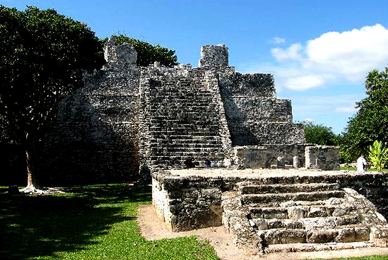
El Meco - The Cancun regions version of the ancient Maya port city of Tulum. In this case it is the port city of "El Meco".
Learn More
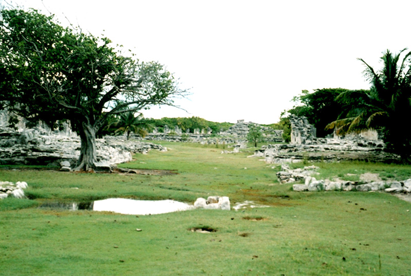
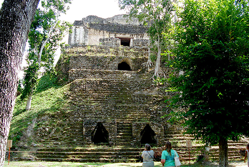
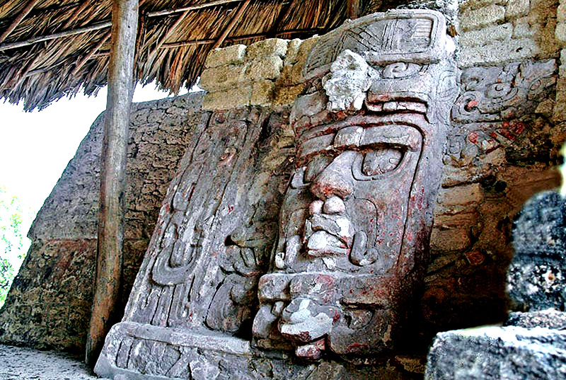
El Rey is a small site located in Cancun. It is also known as the Kinich Ahau Group, the king of the Sun's Face, after a carved stone human head found there.
Learn More
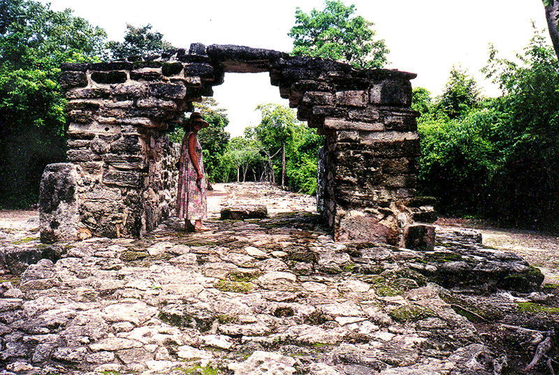
Very little is written about San Gervaso, on the island of Cozumel. What is know is that Cozumel was a place for healing and relaxing. Todays equivalent might be a health spa.
Learn More
Xcaret was occupied by the pre-Columbian Maya and functioned as a port for navigation and an important Maya trading center. Some of the site's original structures are contained within a modern-day tourism development, the privately owned Xcaret Eco Park.
Learn More
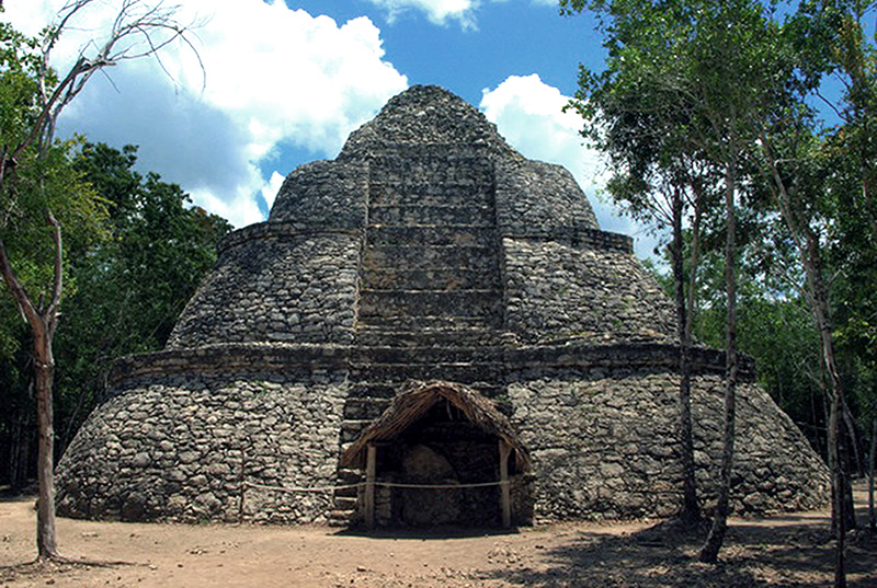
Coba is located around two lagoons. A series of elevated stone and plaster roads radiate from the central site to various smaller sites near and far. Some of these causeways go east to the Caribbean coast,
Learn More
The archaeological site of Xel Ha is located 113 kilometers to the south of the city of Cancun, in the state of Quintana Roo. Xel ha means
"Water Entrance"; it is the largest creek on the coast.
Learn More
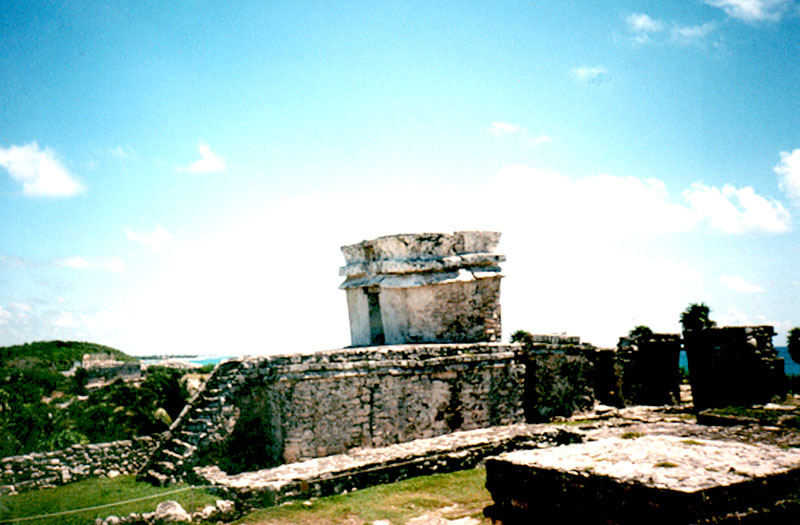
Tulum in Mayan refers to its fortress like walls, but the real Mayan name for the site was "Zama" which means dawn. The site is located an easy drive down the coast from Playa del Carmen and is also easily accessible from Valladolid via Coba.
Learn More
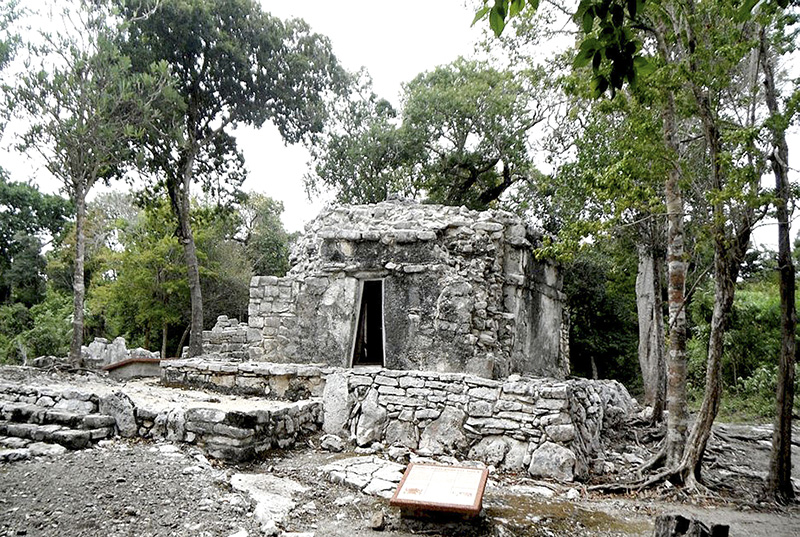
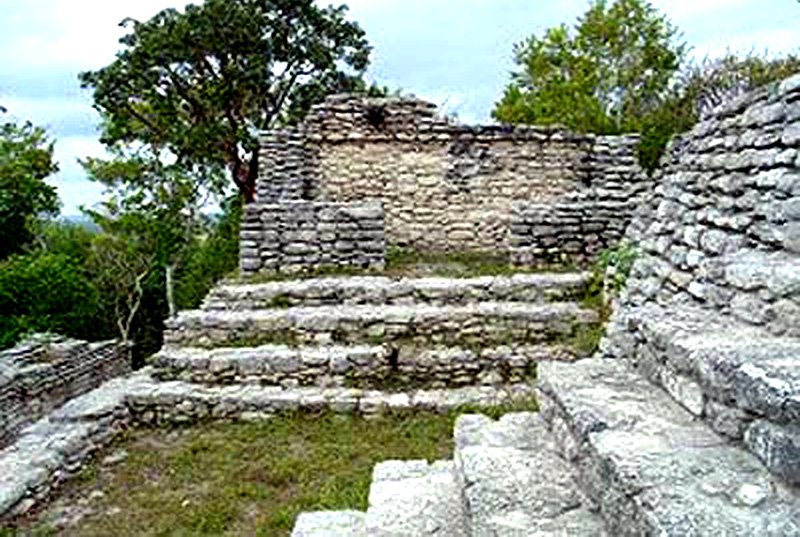
Muyil is located near the east coast of Quintana Roo. It can be reached by car by driving south from Cancun and Tulum. Muyil is situated around a fresh water lake called La Laguna. The site was a trading town of moderate importance because it was located on the coast.
Learn More
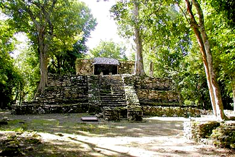
Kinichna consists of a two-level pyramidal mound split into Acropolis B and Acropolis C. The pyramid €śHouse of the Sun was apparently dedicated to the sun god.
Learn More
Dzibanche is a recently restored, gigantic, and imposing ruin. Dzibanche, meaning "writing on wood" in Mayan and owes its name to the fact that one Temple has a fairly large wooden lintel that bears eight glyphs dated 618 C.E.
Learn More
Kohunlich is a corruption of the name "Cohune Ridge". Cohune is a species of fruiting palm common to the area. Kohunlich is located about an hour west of Chetumal. The site was previously known as Clarksville,
Learn More