
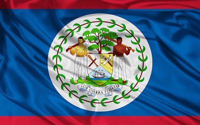
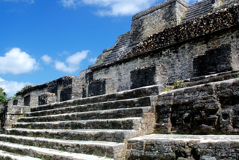
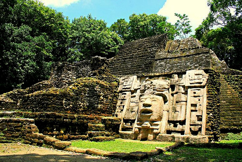
Belize,
Formerly British Honduras, is a country in Central America. Once part of the Mayan and Spanish Empires, it was most recently affiliated with the British Empire, prior to gaining its independence in 1981. The country is bordered to the south and west by Guatemala, to the north by Mexico, and to the east by the Caribbean Sea. Belize has a diverse society, composed of many cultures and speaking many languages. It is the only country in Central America where English is an official language, although Spanish and Kriol are also widely spoken. With 8,867 square miles (22,960 km ) of territory and 301,270 people,the population density is the lowest in the Central American region and one of the lowest in the world. The country's population growth rate, 2.21%,is the highest in the region and one of the highest in the western hemisphere. It remains a Commonwealth realm. Before the arrival of Europeans, Belize was part of the territory of the Maya. The Mopan Maya were the original inhabitants of Belize. The Maya civilization spread itself over Belize beginning around 1500 BC and flourished until about C.E. 900. In the late classic period of Maya civilization (before C.E. 1000), as many as 400,000 people may have lived in the area that is now Belize. Some lowland Maya still occupied the area when Europeans arrived in the 1500s. Spanish colonists tried to settle the inland areas of Belize, but they abandoned these efforts following Maya rebellion against Spanish authority.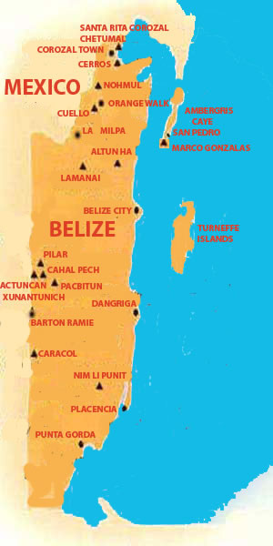
Santa Rita
The site of Santa Rita located in the northern part of Belize, has been occupied throughout the Mayan Civilization and on into present times. Today the site is literally part of the town of Corozal. Archaeologists theorize that Santa Rita was the ancient and important Mayan city of Chetumal.
Learn More
Cerros sprawls over 53 acres atop a hill overlooking Chetumal Bay in northern Belize. Across the bay lies the town of Corozal. Cerros can be reached by a short boat ride from Corozal.
Learn More
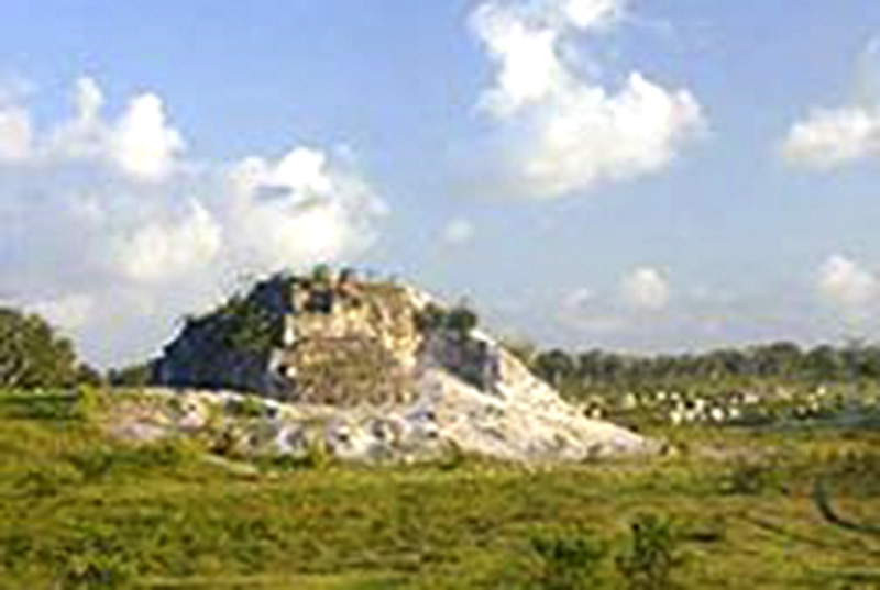
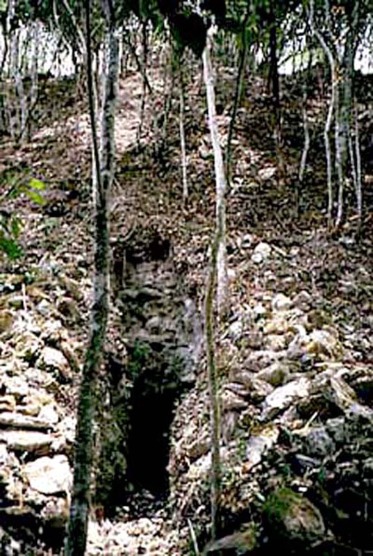
Nohmul; Nohmul means 'Great Mound' in Mayan. Nohmul is spread out among privately owned sugar cane fields 7 miles north of Orange Walk Town in northern Belize. The site occupies about 12 square miles of land. Nohmul was occupied first during the Pre-Classic era from 350 B.C.E. to 250 C.E. and again during the Late Classical period from 600 to 900 C.E.
Learn More
Cuello Cuello is named for the Rum Distillery which nearly lies within the site itself. Cuello boasts being one of the earliest known Mayan sites, with occupation dating between 2500 B.C. and 1000 B.C.E. Conflicting radiocarbon dating's have caused archaeologists to debate the actual age of the site.
Learn More
La Milpa was a major ceremonial center in northwestern Belize. The site is composed of 11 plazas and about 50 structures. The site was first recorded in the 1930's during a general survey of archaeological sites in the region.
Learn More
Marco Gonzalezthe site may be the largest ruin on Ambergris Caye. The site lies two miles south of the town of San Pedro, it covers an area of about 500 meters by 150 meters and 60 constructions.
Learn More
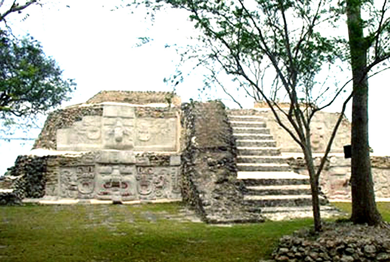
Altun Ha, takes its name from the ancient Maya reservoir that locals call "rock stone pond." But, its name actually means "stone water " in Mayan.
Learn More
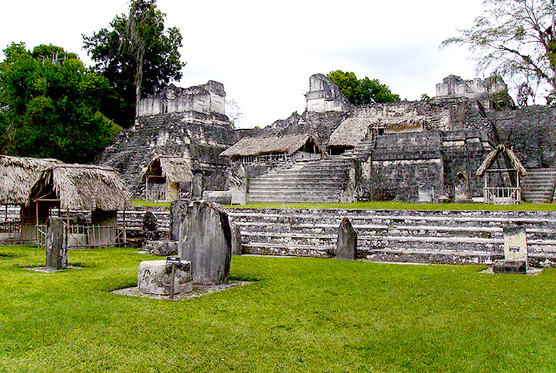
Lamanai is one of Belize's largest ceremonial centers. It is also one of the most important. The name "lamanai" comes from the word "submerged crocodile" in the Mayan language.
Learn More
The El Pilar Archaeological Reserve for Mayan Flora and Fauna is located just north of San Ignacio, on the Belize-Guatemala border. The ruins lie 7 miles beyond the village of Bullet Tree Falls.
Learn More
Cahal Pech is a major Mayan ceremonial center located on a tall hill overlooking the town of San Ignacio. The name derives from a combination of Yucatec and Mopan Maya and means "Place of Ticks". The name was given to the site in the 1950's when the entire area was in use as a cattle pasture.
Learn More

Pacbitum - Means "Stones Set in the Earth" in Mayan. It is located just two miles to the east of San Antonio on private land and is the most southern of the Belize River sites.
Learn More
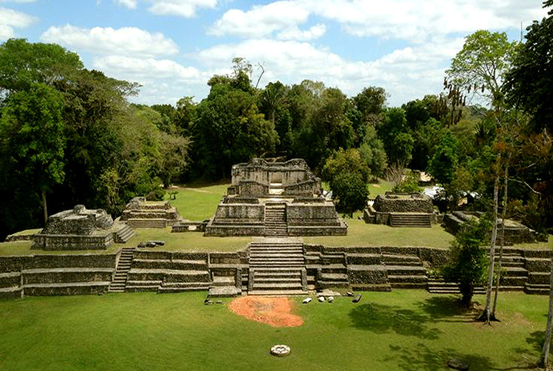
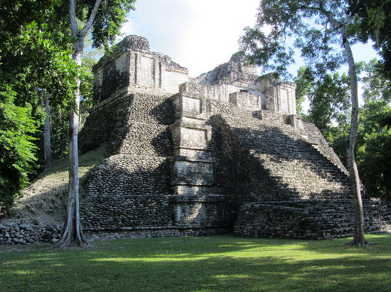
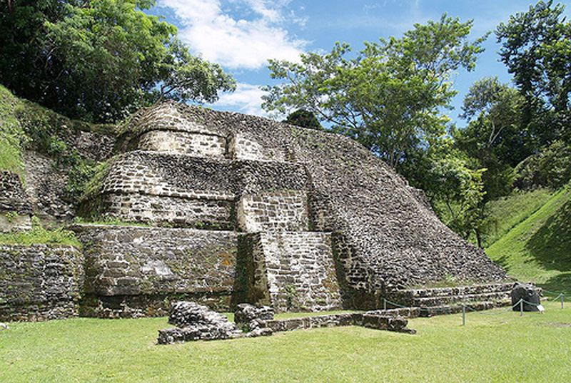
Caracol, means "conch shell" or "snail" and comes from the long winding access road which twists and turns much like the spirals on the shell of a snail. Caracol was not the Mayan name for the site.
Learn More
Nim Li Punit, meaning "big hat" in Mayan, was only discovered in 1976. This site has been classified as strictly a Late Classic period site. Situated along the top of a ridge in the foothills of the Mayan Mountains, the site has a commanding view of the coastal plains of the Toledo district means "conch shell" or "snail" and comes from the long winding access road which twists and turns much like the spirals on the shell of a snail.
Learn More
Pusilha is southwest of Blue Creek Village on the Moho River in the Toledo District, about one mile east of the Guatemalan border.
Learn More
Colha means "Water Cabbage " in Mayan. Colha is a relatively minor site in northern Belize that is distinguished for the stone artifacts made there, especially during the late Classic.
Learn More
Actuncan stands out for being a large village with a 27 meter high pyramid one kilometer from Xuantunich. Actuncan has disclosed some elaborate stucco masks on the pyramid face,
Learn More
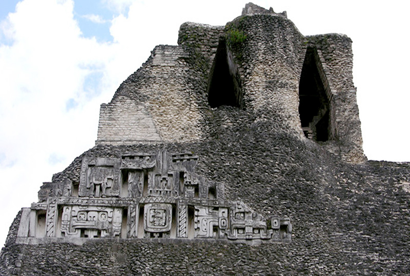
Xunantunich means "Maiden of the Rock" in Mayan. It is located about 120 kilometers from Belize City near the Maya village of San Jose Succotz. To get to the ruins you need to take a ferry, with your car, across the Mopan River.
Learn More
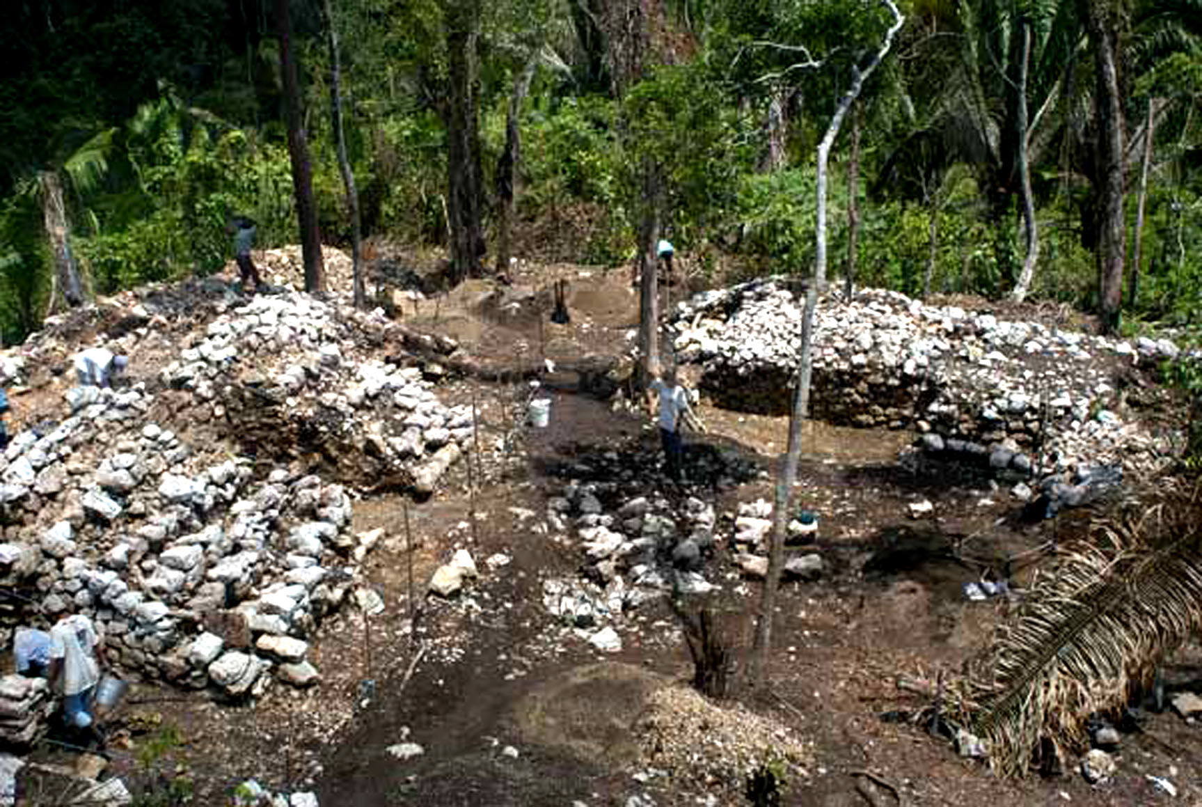
Barton Ramie was noted for its pottery making, predominantly Mount Hope and Floral Park. All indications are that the construction phases identified so far date to very late, Late Preclassic times
Learn More